DSM
Photogrammetry & Mapping
Survey-grade orthomosaics, 3D models, point clouds and volumetrics, georeferenced with RTK/PPK and ground control.
We turn thousands of overlapping images into accurate, measurable models of the real world.
Accuracy you can build on
RTK/PPK positioning and surveyed ground control points give 2–3 cm absolute accuracy on typical sites. Every delivery includes a QA report with checkpoint residuals.
Outputs
- Orthomosaics at 1–3 cm GSD, in your coordinate system
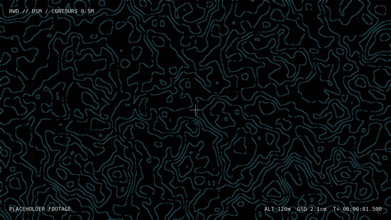
- Digital surface and terrain models, contours at any interval
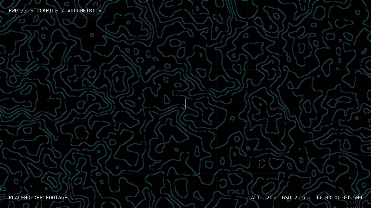
- Stockpile and cut/fill volumes, with change detection between flights
- Point clouds and textured meshes for BIM, GIS and digital twins