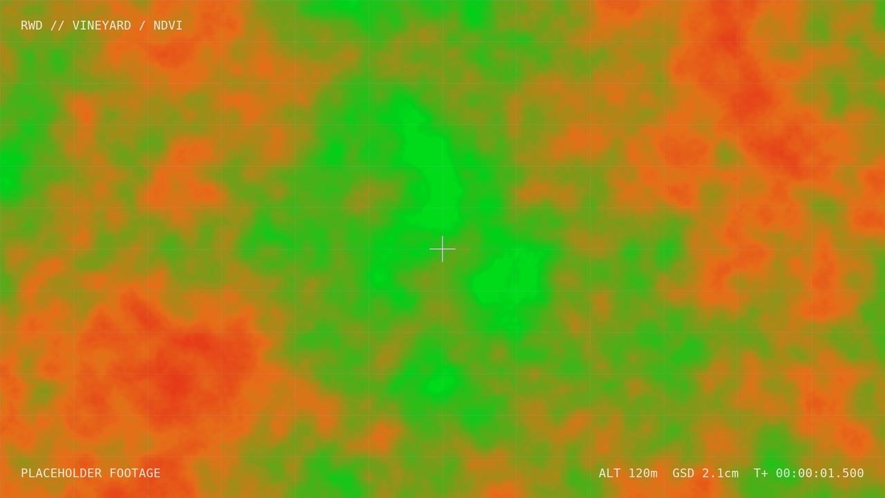
Douro Valley, Portugal · March 2026
Terraced vineyard vigour mapping
Multispectral mapping of steep terraced vineyards, where ground scouting is slow and satellite data is too coarse.
- Terraces mapped
- 95 ha
- Ground sample distance
- 4 cm
- Flights per season
- 5
The challenge
Steep schist terraces make walking the vines slow, and 10 m satellite pixels blur the vine rows into the walls between them.
What we did
We flew terrain-following multispectral missions and used a photogrammetric DSM to separate canopy from terrace walls before computing vegetation indices.
Outcome
The viticulture team now targets canopy management and irrigation terrace by terrace.